May 2011 – December 2015
Leibniz Association, Competitive funds
Over the past years the ubiquity of digital visualizations from interactive thematic maps has grown considerably. Everywhere maps are used as strategy for a better comprehension of the world. Beside questions of navigation- and distance calculation functions, which are answered in the field of topographic maps, the user has the opportunity to find actual information in the internet about the positioning of his friends, the constituency or the crime rate of his neighborhood, the quality of the soil as well as a possible connection of the gross domestic product and the probability of a world cup winning. Thematic maps as interactive infographics appear more frequently in the Internet in order to simplify visualizations of complex matters and for the use on mobile devices.

Due to the continuing technological change there is also a democratization process of open access to geo- and statistical data taking place, which gains access to an increasing amount of data for all users. The handling with technical offer on the one hand and growing data variety on the other needs to be studied in the field of research in cognitive science: How are these maps perceived and processed? In what kind of knowledge acquisition does the use of thematic maps result?
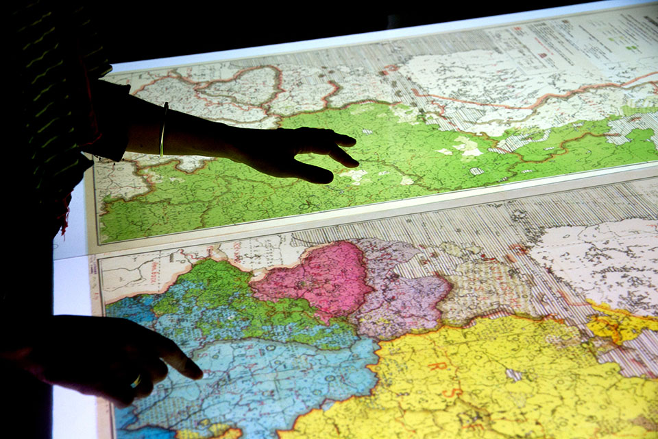
The Leibniz Association collaborative project, composed of four academic fields, is to develop a “Digital Atlas of Geopolitical Imaginaries of Eastern Central Europe”. The aim is to examine the possibilities for using new media in visualizing thematic maps as interactive infographics and the results are to be implemented in the conception and realization of the atlas. The IWM in particular focuses on the cognitive processes of dynamic presentations in interactive digital maps by means of laboratory experimental studies (attentional processes during map reading, Eyetracking and Usability Studies).